Montgomery Field to Avalon
March 9, 2002
2.5 hours
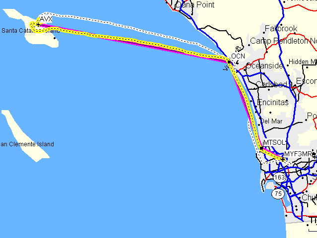
(The route in purple is the route programmed into the GPS. The route in yellow is my actual flight path.)
(The route in purple is the route programmed into the GPS. The route in yellow is my actual flight path.)
Learning from my previous experiences, I remembered to gather all of the frequencies I needed ahead of time. I brought AOPA's airport directory and read what they had to say (mainly that there's a landing fee that that "Approval required through unicom prior to takeoff or landing.") I then called out to Catalina to verify that information and find out the cost of the landing fee. It is a good thing I did so because the landing fee had been increased from the $7 I was expecting to $10 and I only have $9 in my wallet, so I ran back to the car and grabbed a few quarters. I then went inside and filed a flight plan. I'm not familiar with the SoCal frequencies used when departing to the west, so I asked the pre-flight briefer for the frequency to use for requesting flight following. He said he thought 119.6, but he wasn't sure and said I should ask the tower to pass me off to SoCal.
So, I went out, readied the GPS, and called ground for approval to taxi. I was assigned 28L and after doing the runup, I asked the tower to pass me to SoCal after departure and they agreed to do so and gave me the frequency (119.6) to use. Within a couple minutes of takeoff, the tower had already passed me off to SoCal and I got cleared through the class B to the north. I'll have to remember to ask for this more often. When flying northeast, I wait until I'm over Ramona before calling SoCal as it's the only place where I know the correct SoCal frequency.
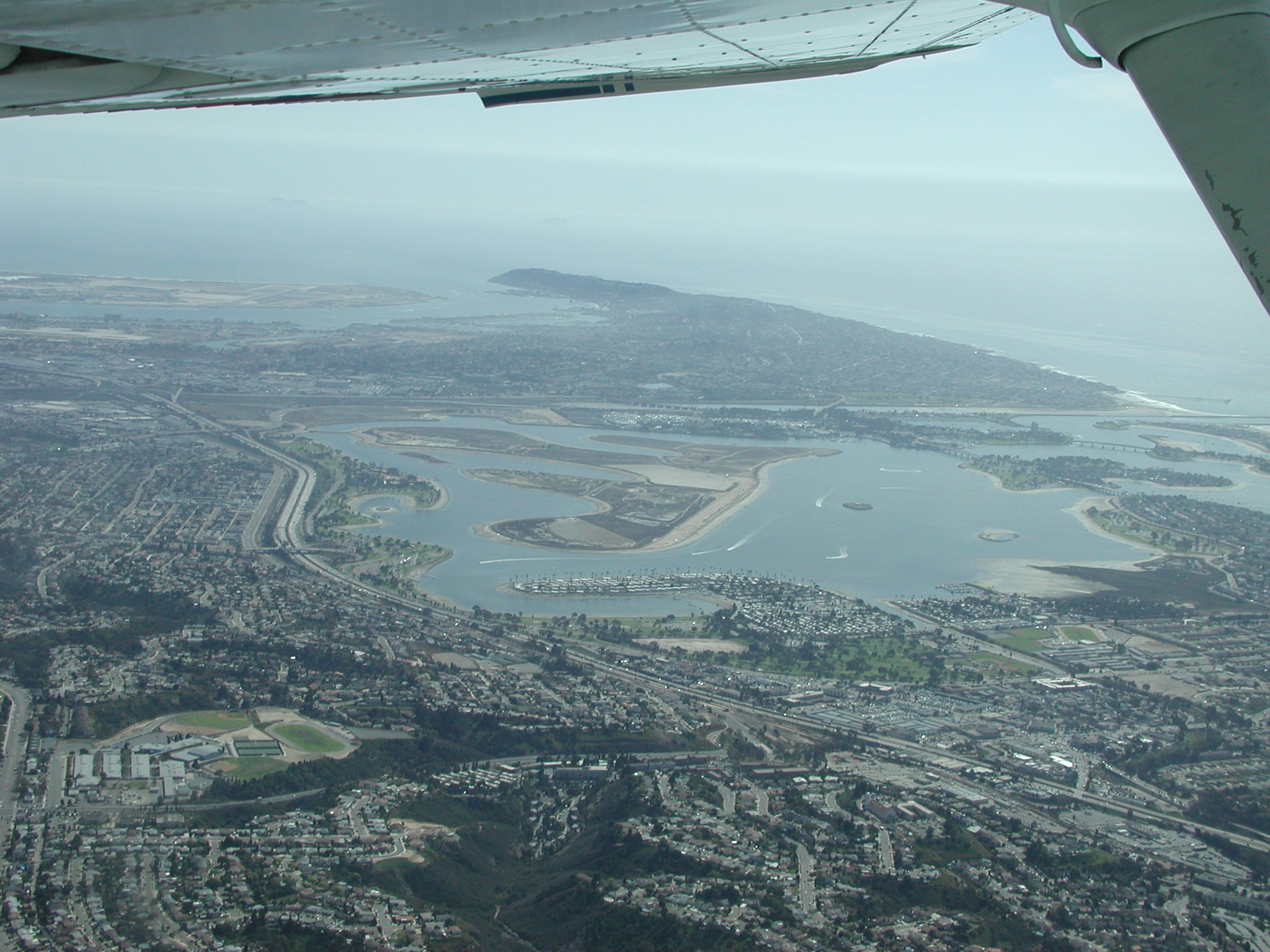
During my climb, I managed to snap a pretty good picture of Mission Bay:
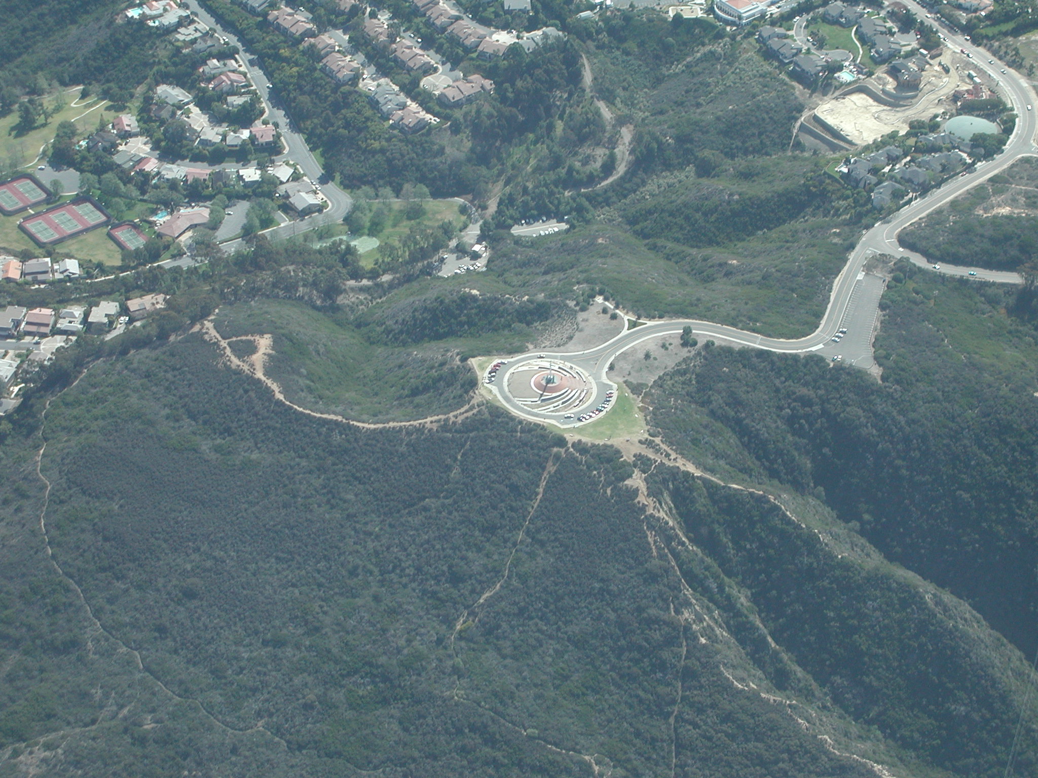
A few minutes later, I arrived at my first checkpoint, Mt. Soledad:
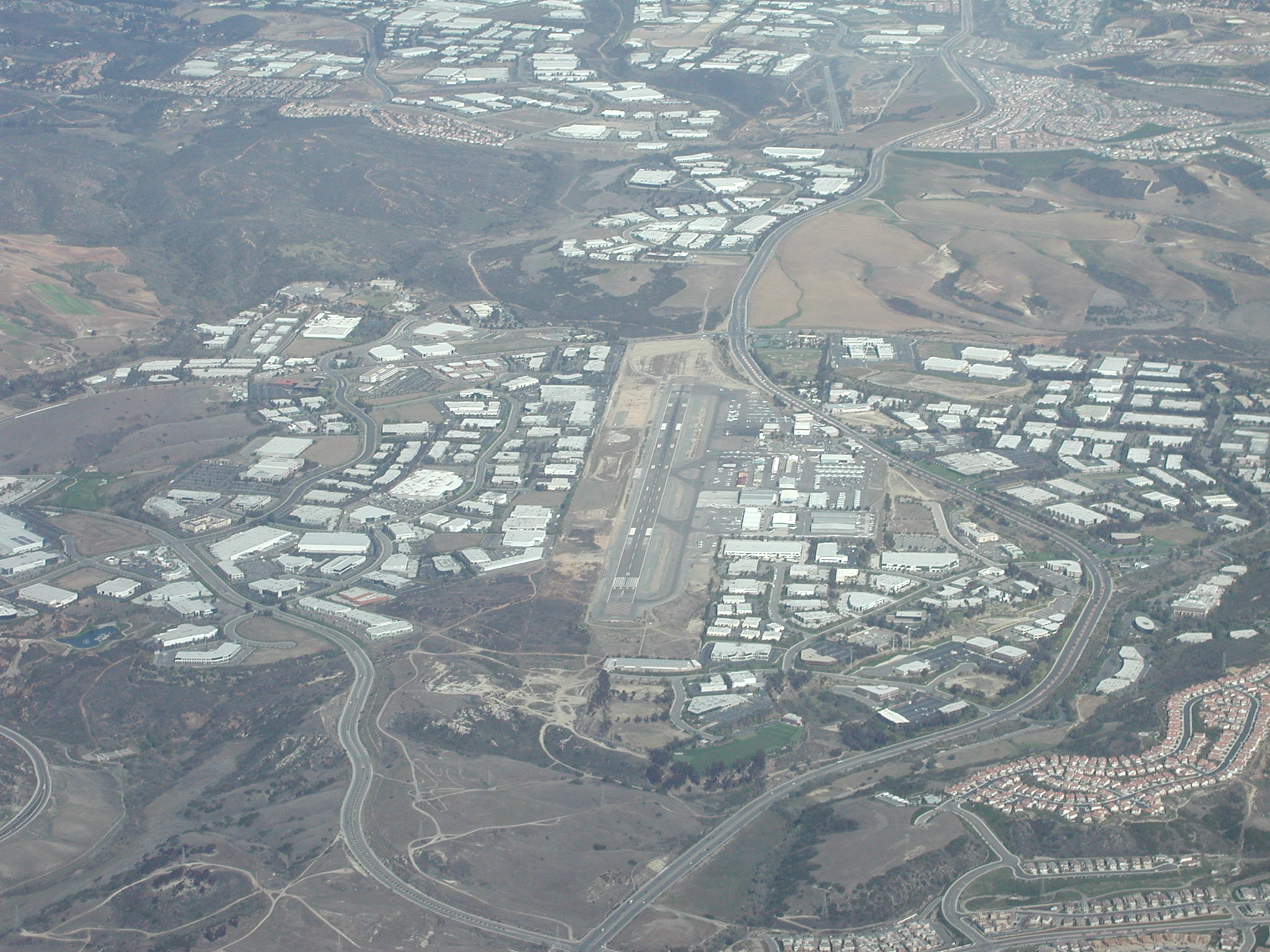
I then turned to fly direct to the Oceanside VOR. On this flight, I was practicing radio navigation. As you can see from the above map, I did a much better job of following my planned route. On the way north, I passed Palomar Field:
After a while, I arrived at the Oceanside VOR and turned west towards Catalina. Unfortunately, the afternoon light did not provide much opportunity for good pictures of the island from afar. Once I got close enough, I did get some good pictures of Avalon Bay and another bay that I don't currently know the name of (maybe Banning's Beach):

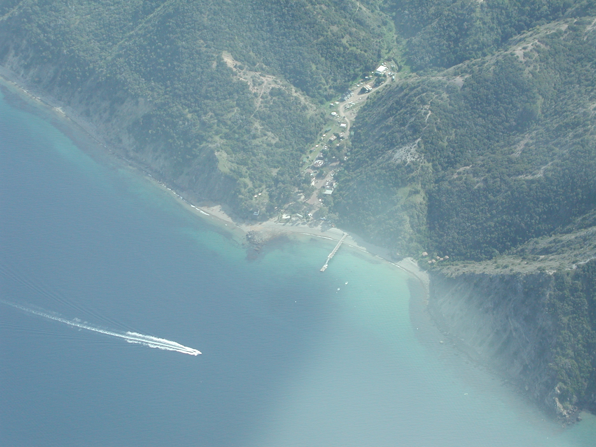
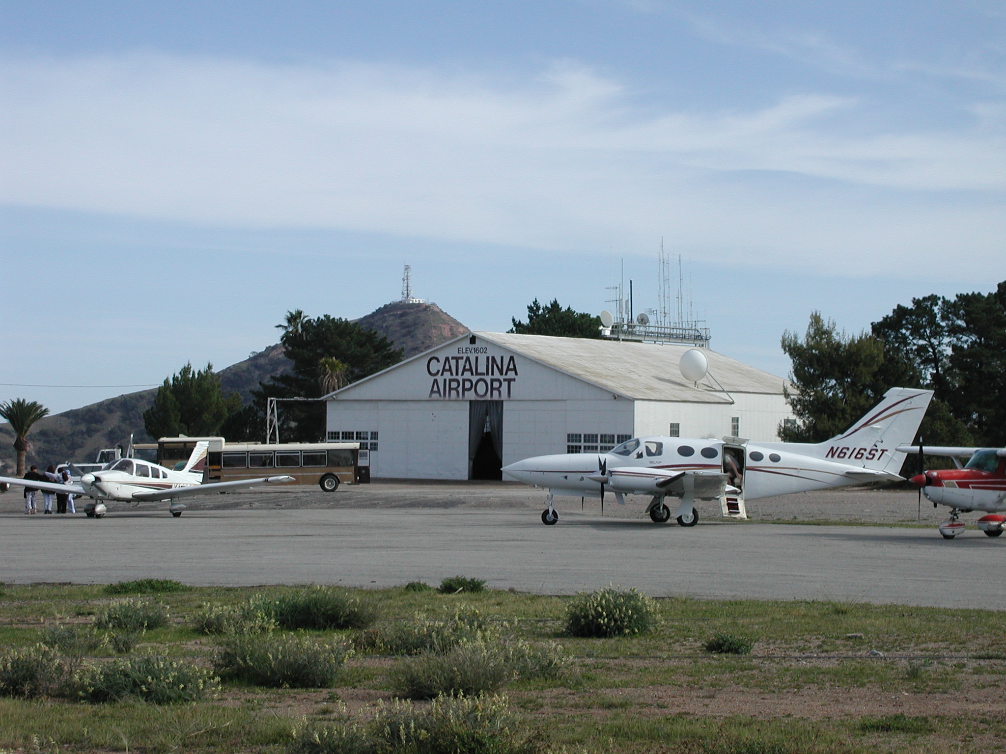
Right after that, I spotted the field:
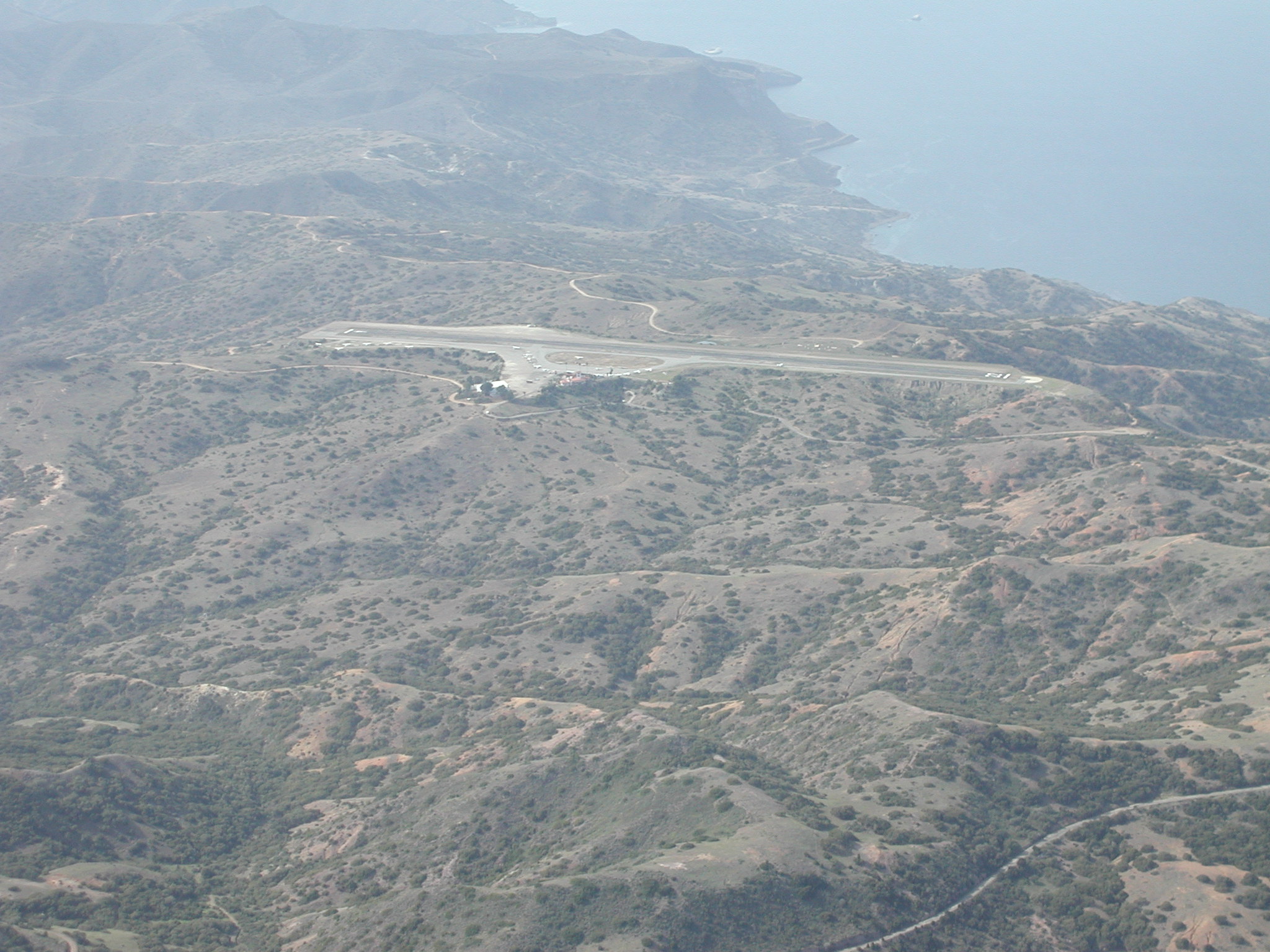
(Now that I look at this picture, I just noticed that the front cover of AOPA's Airport Directory shows a single picture of an airport and it just happens to be this airport!)
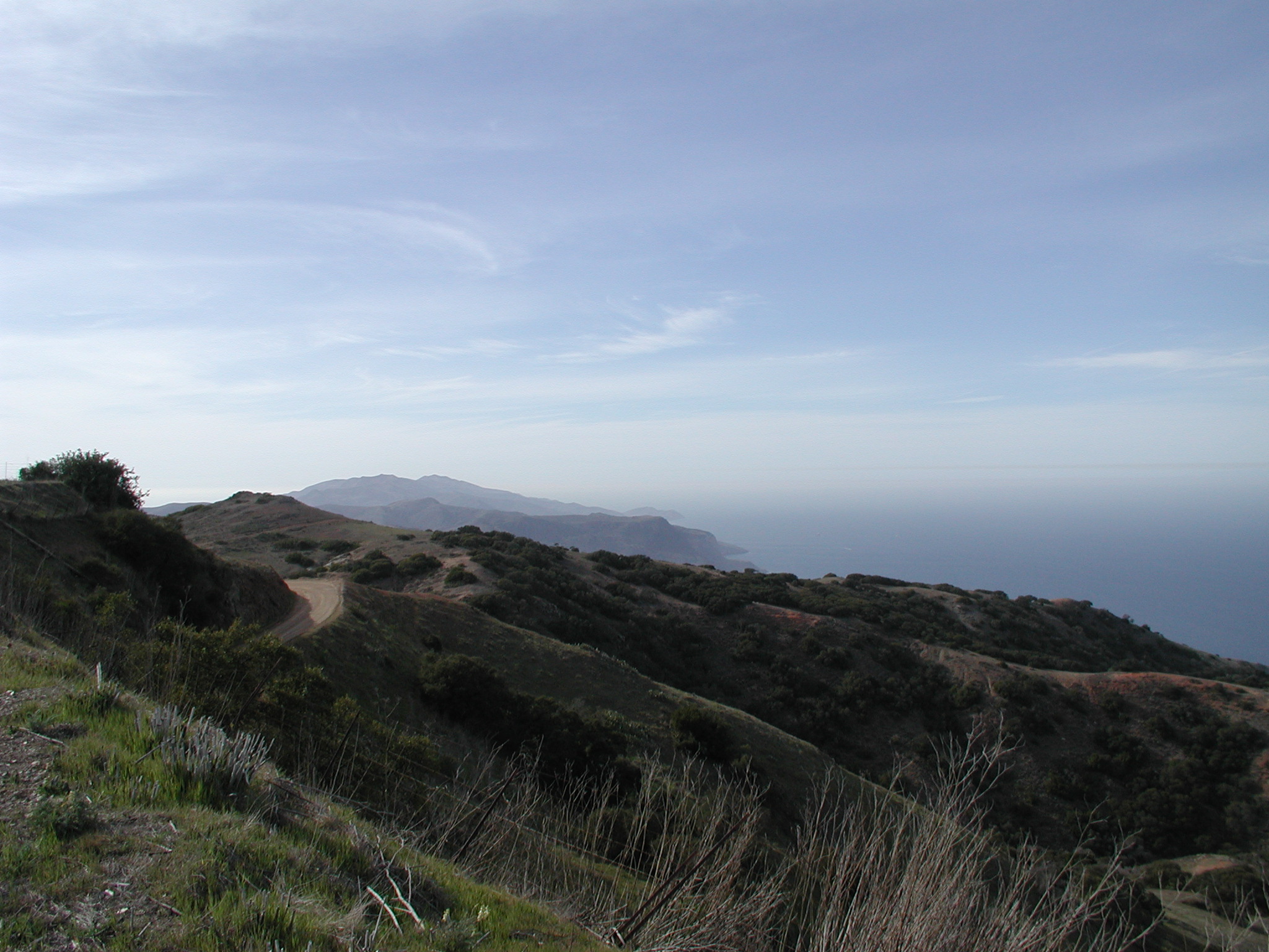
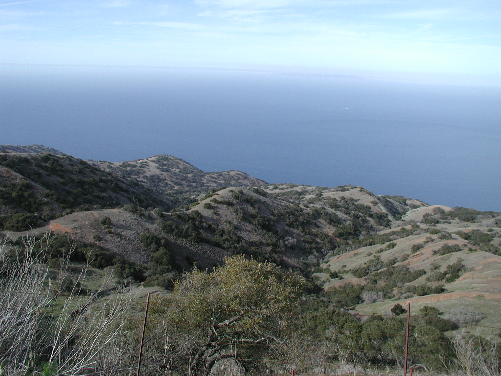
So, I called in to request permission to land and was quickly granted permission. After that, I treated it like any other uncontrolled airport and called out my position. Although you can't see this detail in the map above, I did circle the airport once to get a good view of it and the surrounding landscape (which is quite green and beautiful!) Although I had some amazing photo opportunities on the way in, I was too busy landing the plane to try to mess with a camera. I'll have to go back with a passenger sometime.
Final approach looks a little scary. There is a steep slope up, then 10 yards or so of grass and then the runway. When I was coming in, there were people standing just off to the side of the end of the runway, so I was trying not to get too low over them. I ended up having a pretty hard landing. I think this was because the runway slopes upward and I thought that it was shorter than it really is. I knew that I definitely didn't want to run off the end of the runway (since it just drops off down the hill), so I rushed the landing and ended up stalling a little high. But, the plane survived. The runway seemed pretty rough as I taxied down it--certainly not the pristine runways I have encountered previously. After I arrived at the parking area, I saw that the airport was as busy as I suspected given the amount of traffic on the radio. I was unfamiliar with the layout of the parking area and since the field is uncontrolled, there was no one to ask where to park. I couldn't find any paved spaces that were available, so I ended up having to park in a dirt and weed area. I even accidentally mowed through a plant on the way to park. (I did check the prop afterwards and found no damage. It does now have a greenish tint to it, though.)
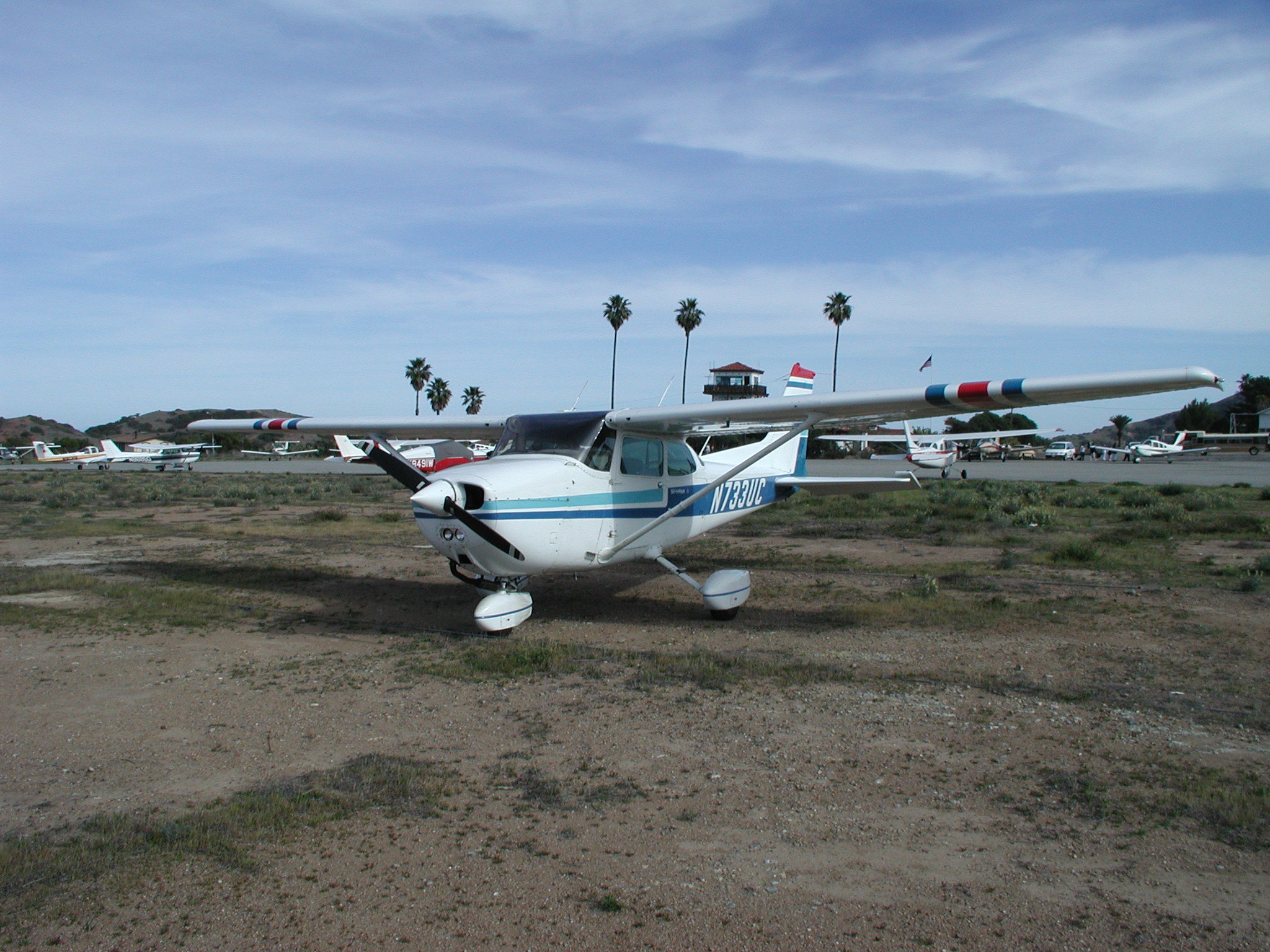
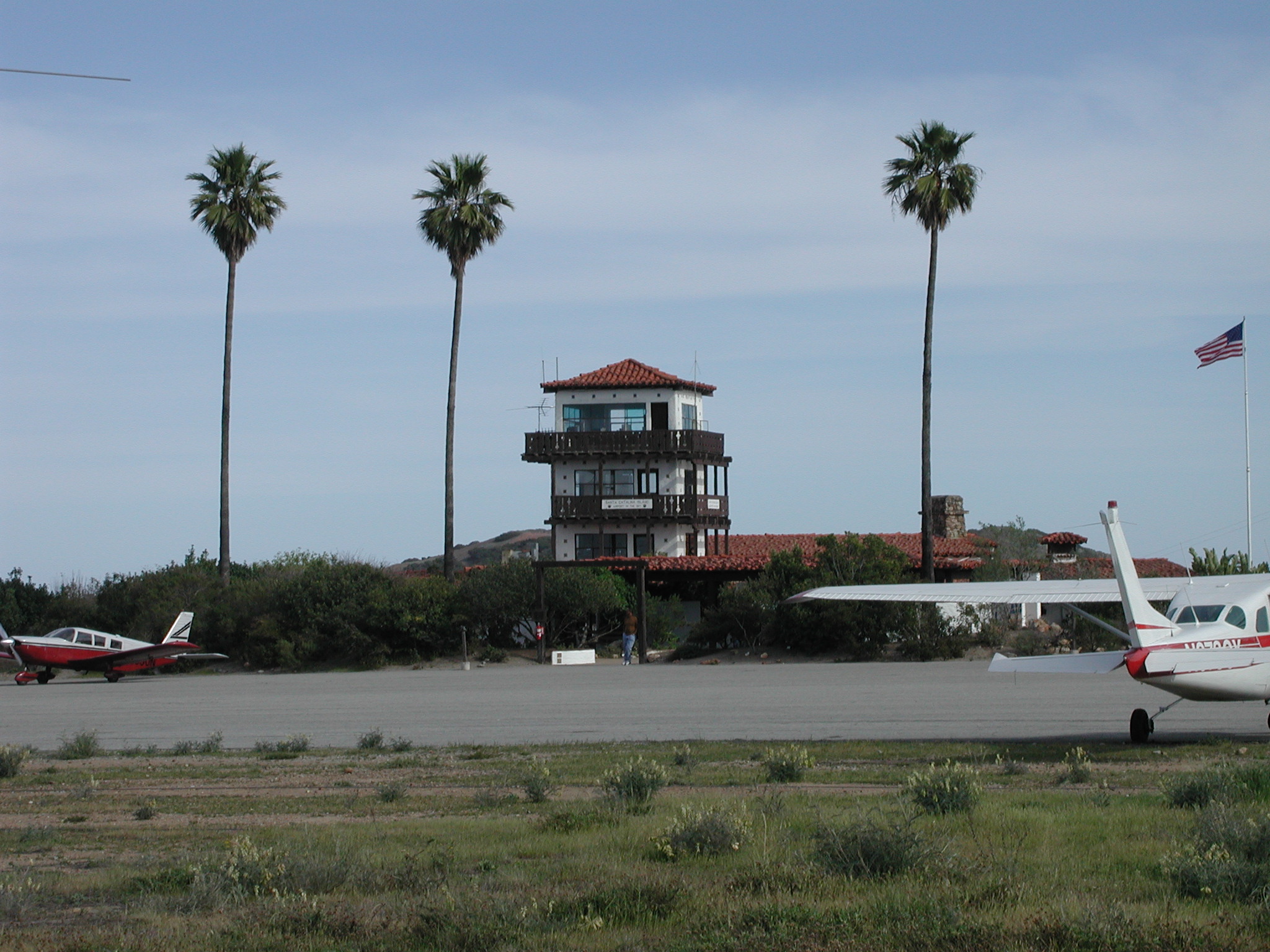
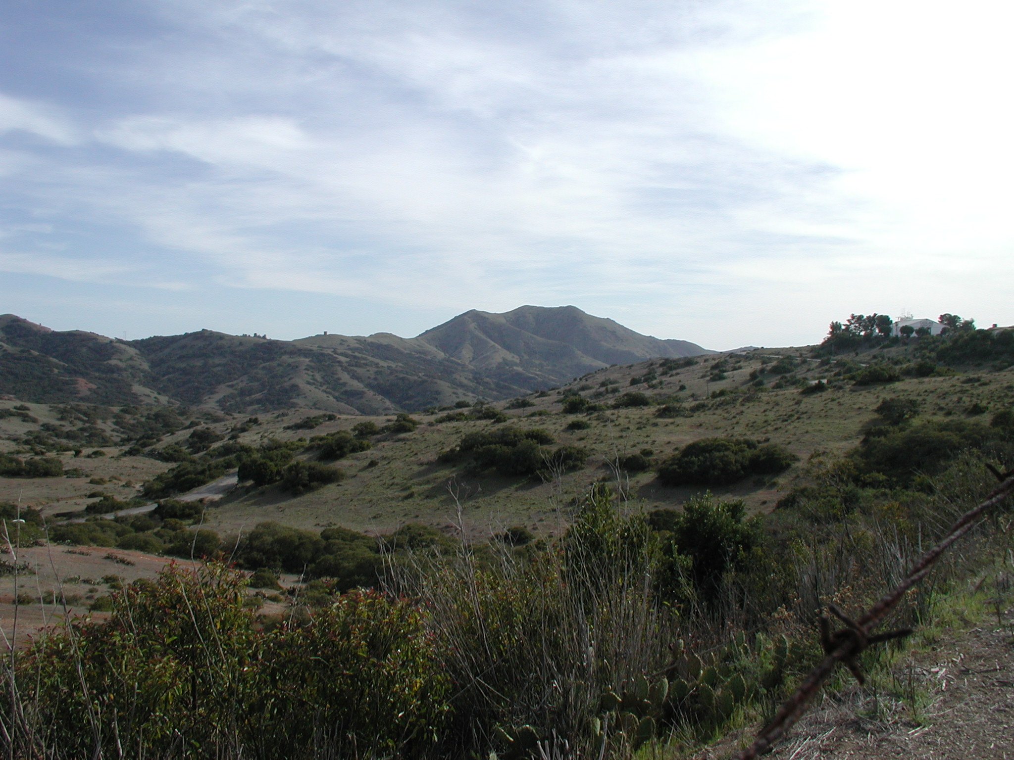
I then took some pictures of the surrounding area:
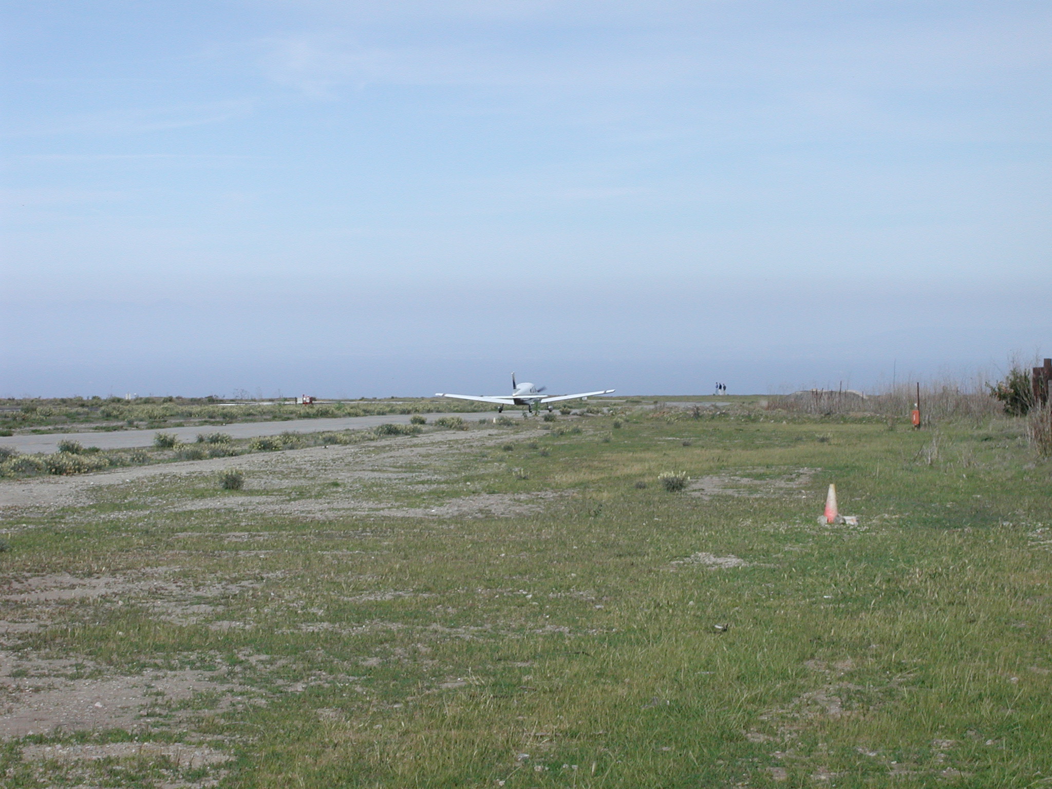


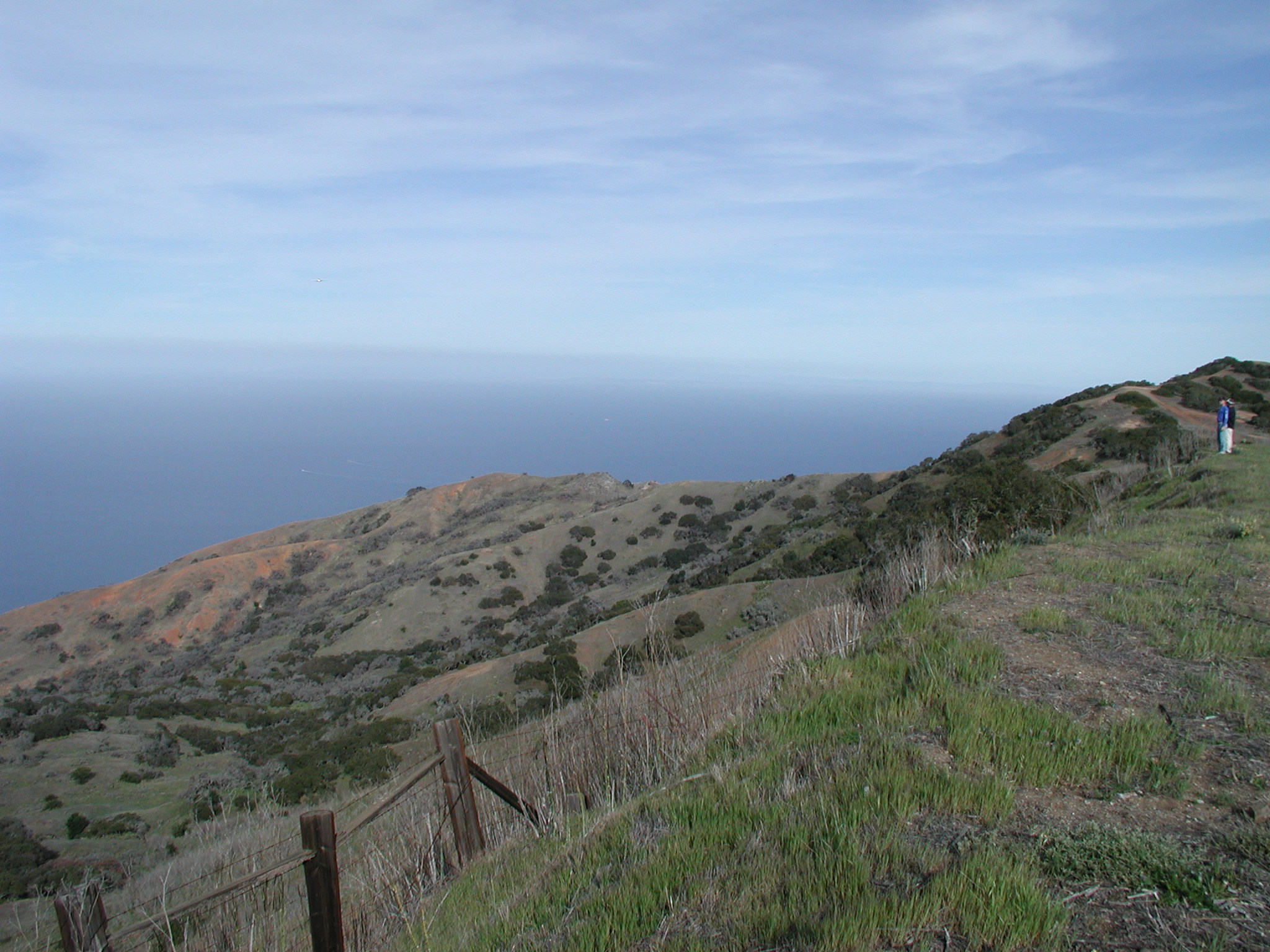
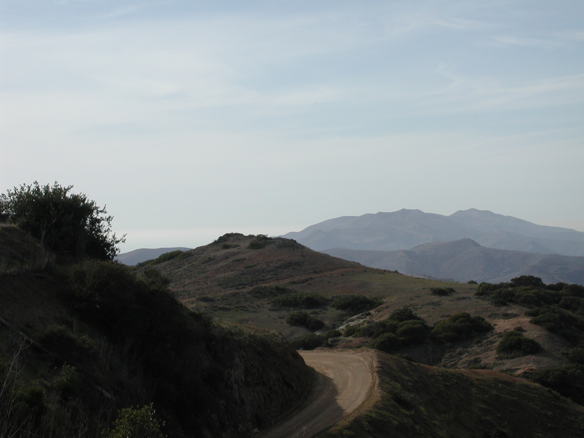
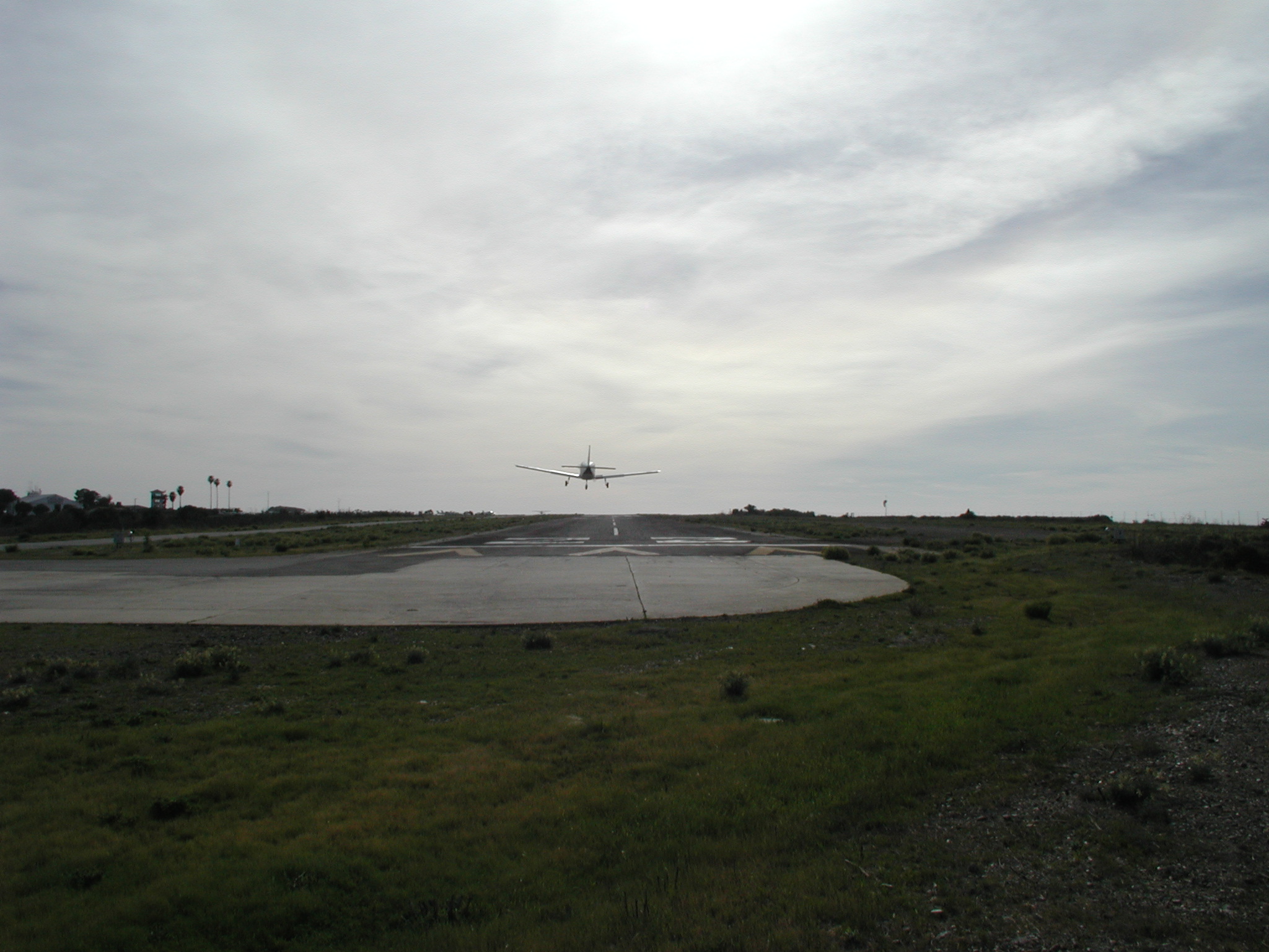
And of course, I couldn't resist standing at the end of the runway and probably scaring other pilots myself:
So after a little while of relaxing and taking pictures, I continued my journey back home:

As you can see, I did a much worse job of following my planned course. I noticed while flying that I seemed to keep drifting farther north, so I kept crabbing into the wind more and more. So--I started out on a heading that the digital VOR said would take me directly to the Oceanside VOR. As I drifted north, I next tried turning farther south than what was indicated on the digital VOR. Given the path that I took, I obviously never crabbed far enough into the wind to correct for it. I also noticed that the digital and analog VORs were off by 2-3 degrees. It's also possible that I didn't have my heading indicator set properly, though I did check that a couple of times in flight. I could have used my GPS' heading indicator, but I couldn't figure out a way to get it to display in numerical units.
Anyway--I did eventually make it to Oceanside, but as you can see, I overshot it. I'm not sure what happened there. I don't remember seeing the VOR indicator switch to the opposite direction, but I did feel like I was too far inland, so I started to turn south. Right around this time, SoCal called me and asked to verify that my destination was Montgomery. I said it was, so they asked me to stay above or west of the coast, so you can see on the map where I complied with that request. I then switched to the Mission Bay VOR and picked up the radial that I wanted to follow. I was doing fine following that radial until SoCal told me about traffic that was above and to my right. I spotted it and reported back. Over the course of a few minutes, the other plane fell behind and to the left of me and I lost sight of it. SoCal started warning me about it again as it started to decend. They soon told me that the other plane was at my 9 o'clock at my same altitude and it looked like he was extremely close to me. I tried a number of banks to the right to try to see out of my left side, but I was unable to see anyone. (I'm really starting to hate the high-wing planes, but I guess I could have had the same problem in a low wing if the traffic was slightly beneath me.) I then told SoCal I was heading west a little to avoid the traffic and you can clearly see that path on the map as well.
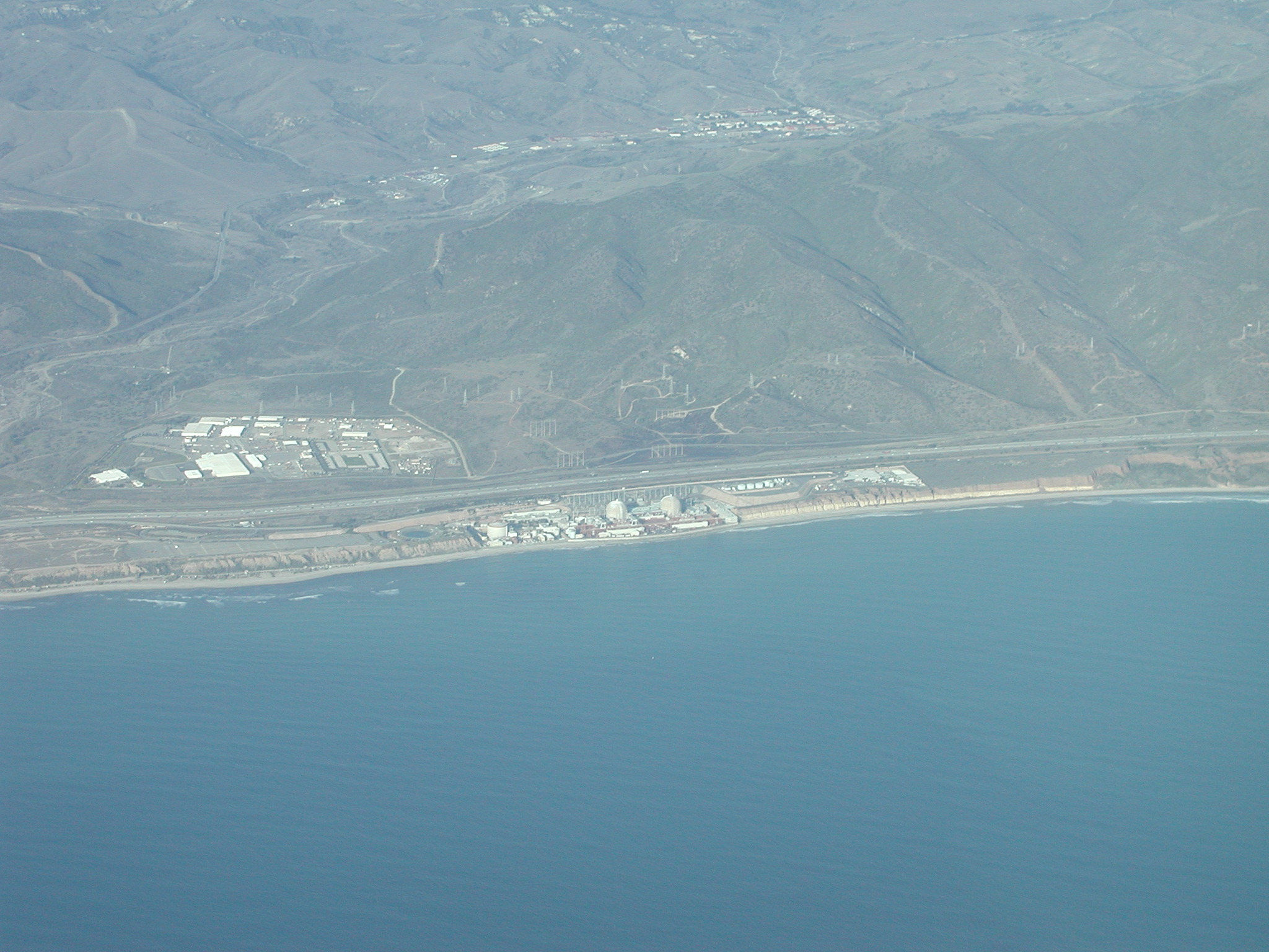
While this may sound a little overloading, it actually wasn't that bad at all, and I had plenty of time to snap a few pictures on the way. Here's San Onofre nuclear power plant:
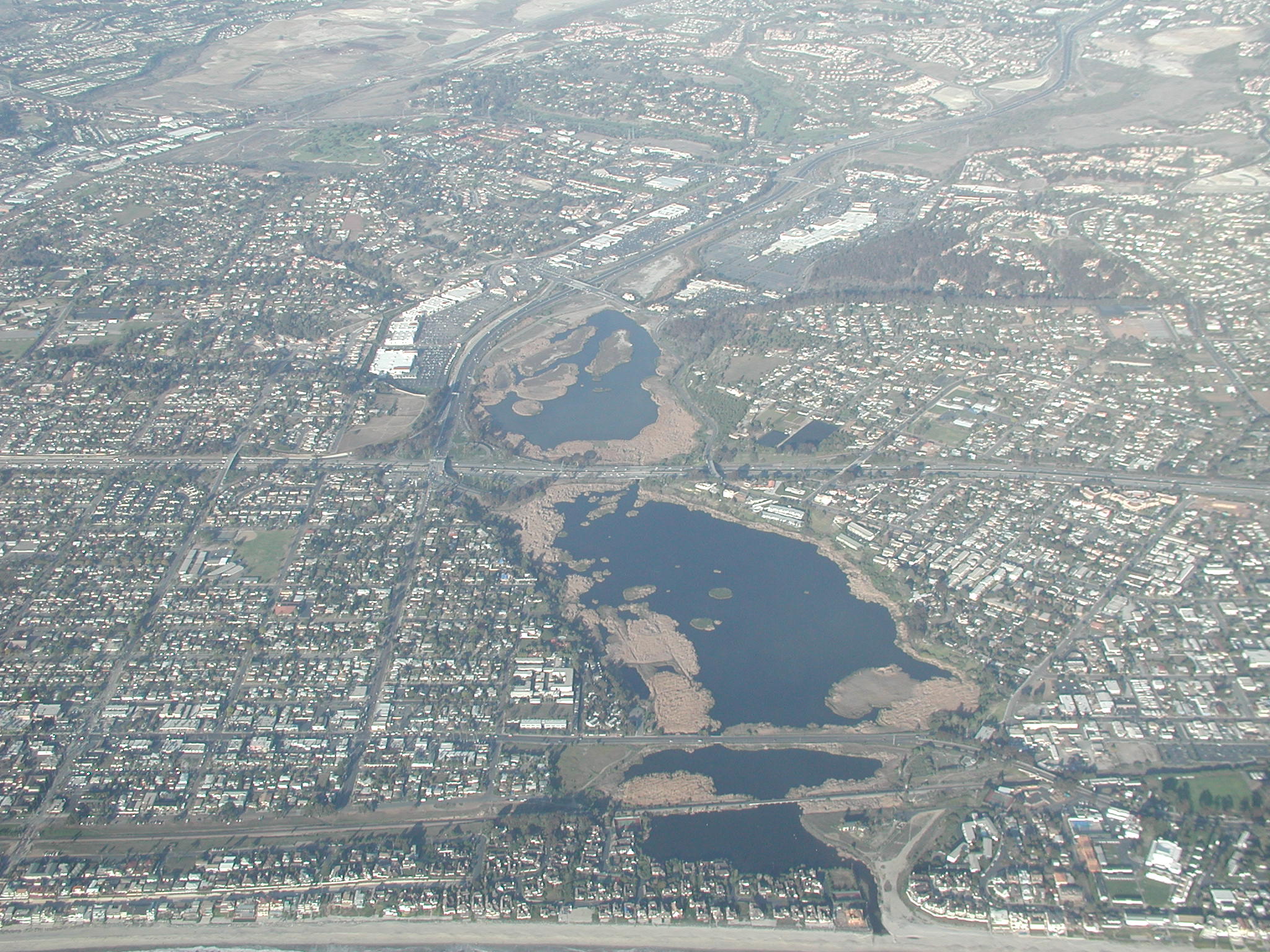
A nice lake that I have not identified (but the picture came out nice):
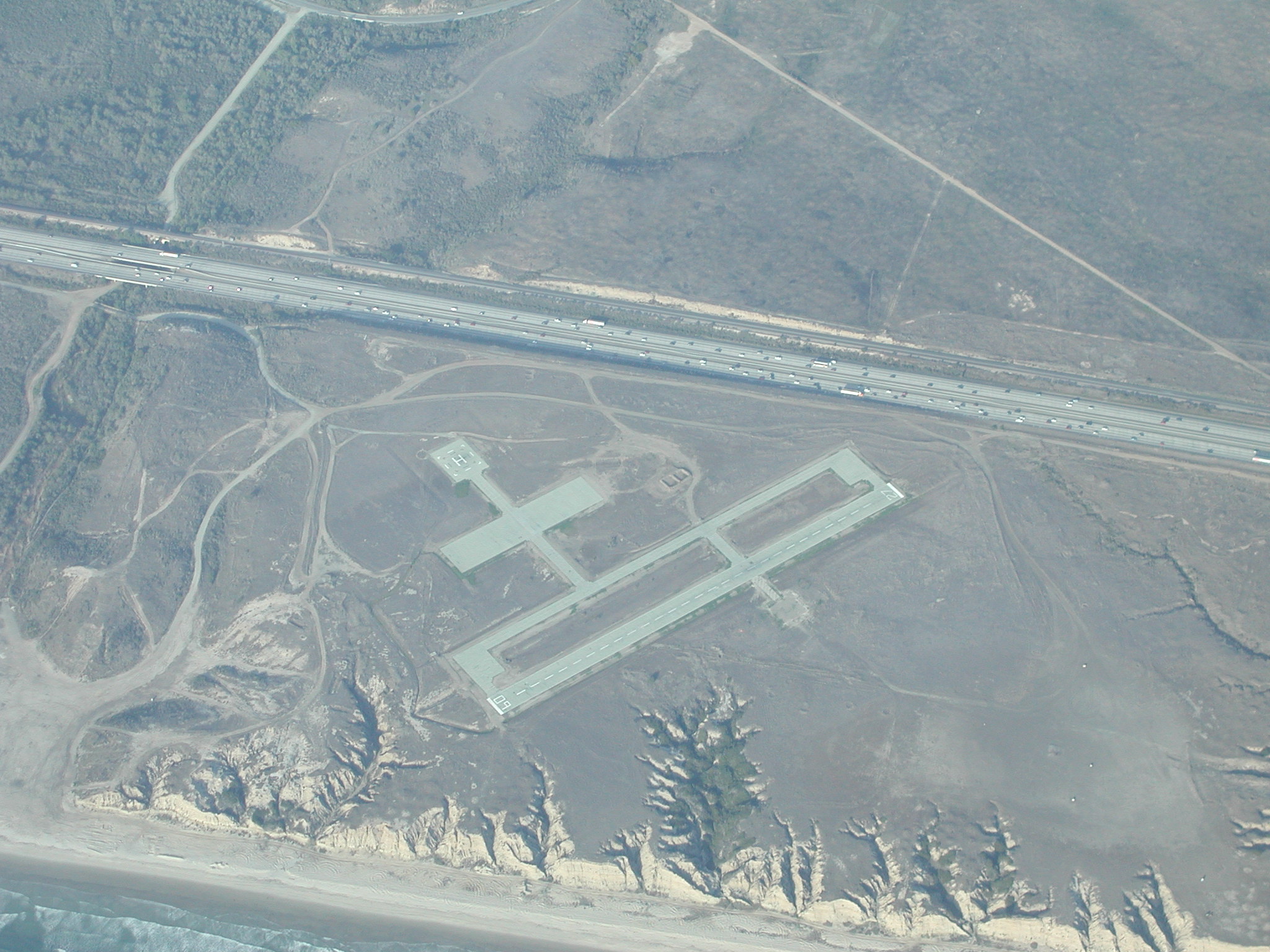
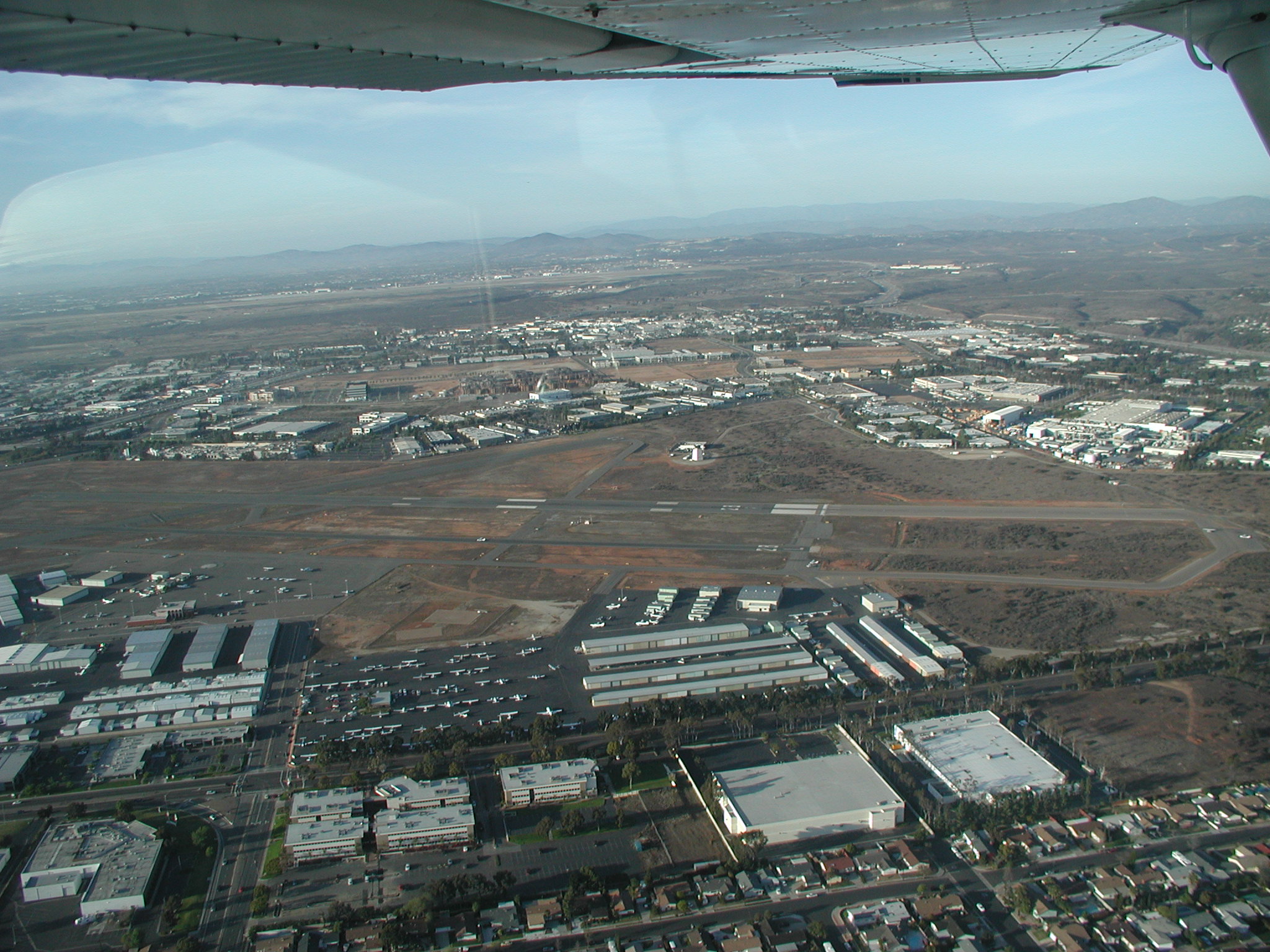
An airport that was right between the coast and I-5:
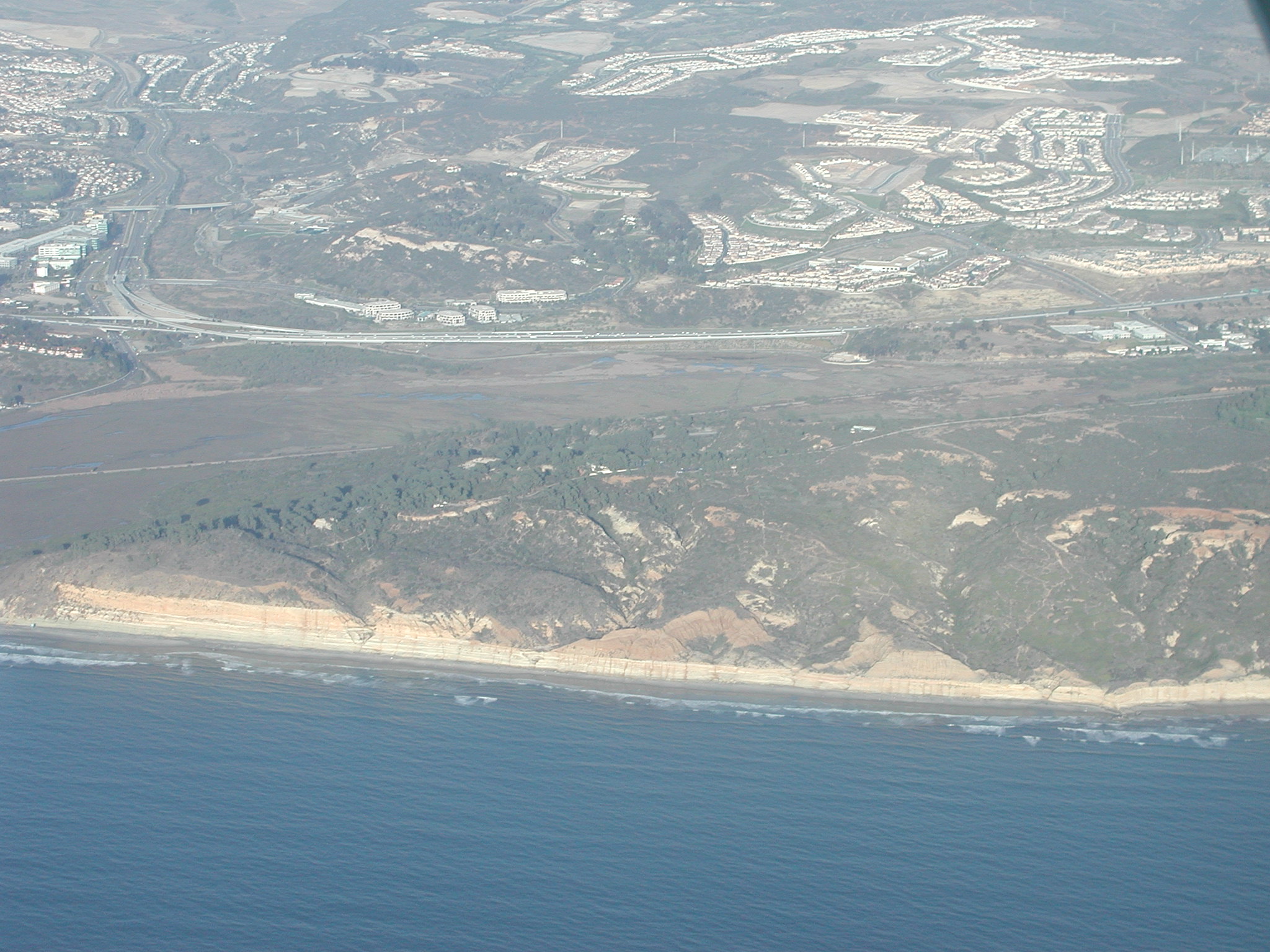
Torrey Pines golf course:

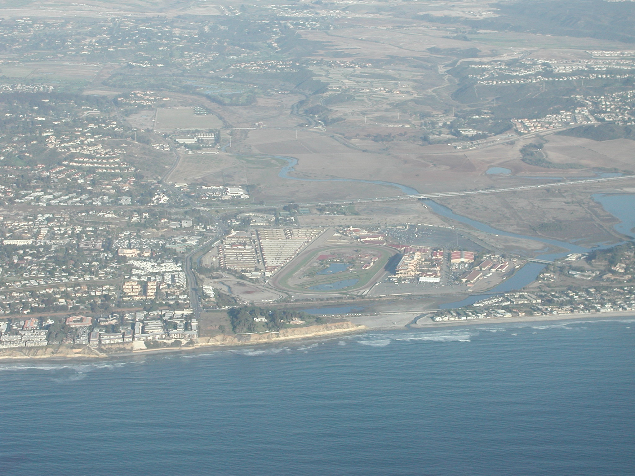
The Del Mar racetrack and fairgrounds:
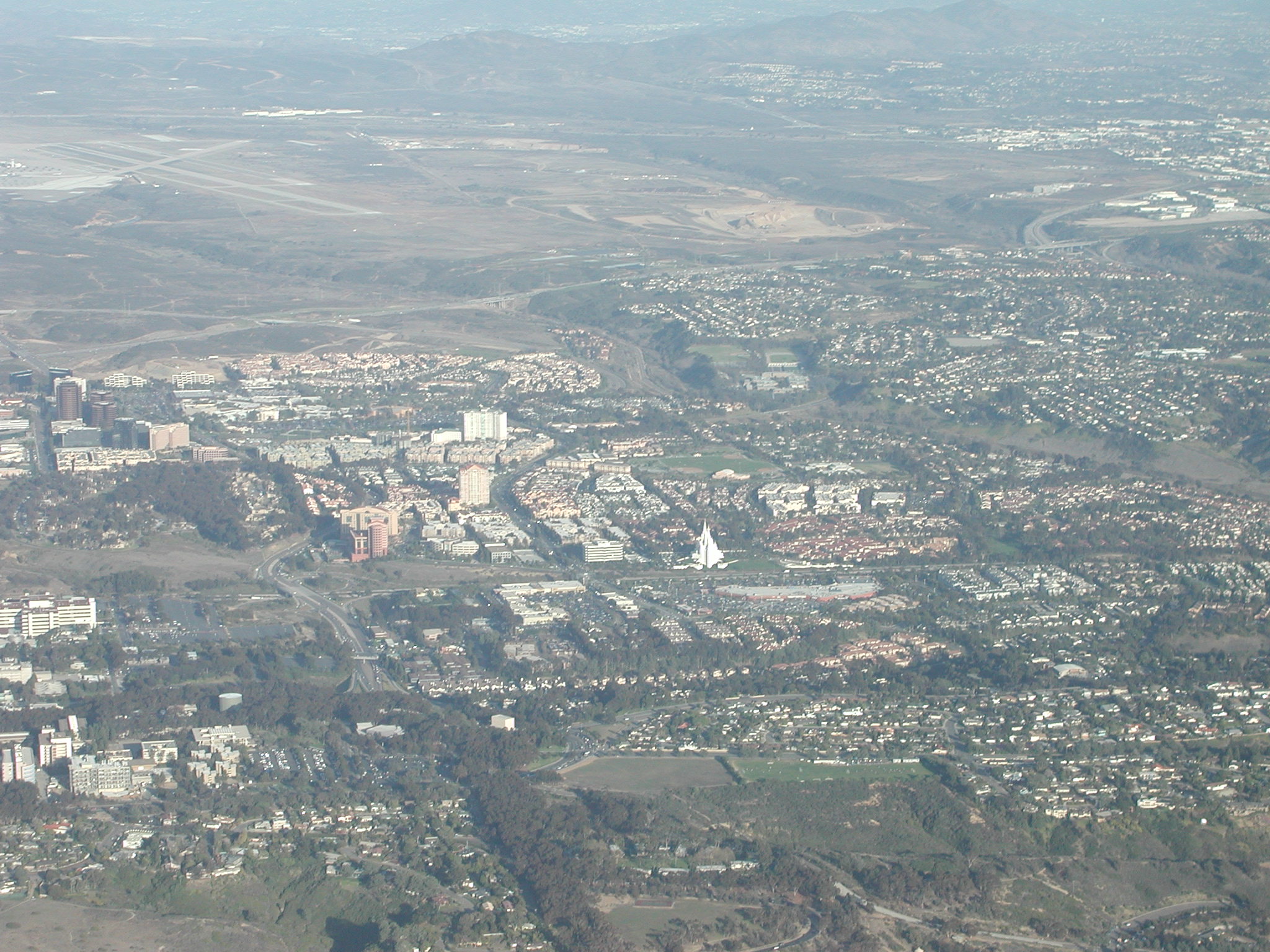
The UTC area, including the famous Mormon tabernacle:
As you can see on the map, my original plan for the return trip was to fly to Mt. Soledad and then in the Montgomery. But, I read something in the Plus One newsletter that mentioned you should fly all the way down to the Mission Bay VOR to properly enter Montgomery on the 45. I decided to give that a try and it seemed to work pretty well and I was assigned 28L. I snapped a picture of the field on downwind:
and then put the camera away for the remainder of my trip. Unfortunately, I was too close to the runway and when I turned out on final, I found myself north of 28R. (Again, I had to curse my high-wing aircraft. In this case, I know that a low-wing would have provided much better visibility throughout my turn.) I made a quick turn back to line up with 28L and ended up making one of my best touchdowns yet--a very gentle landing with the perfect tire chirp on contact with the ground.
Lessons learned: