Montgomery Field to Chiriaco Summit
January 17, 2002
2.6 hours
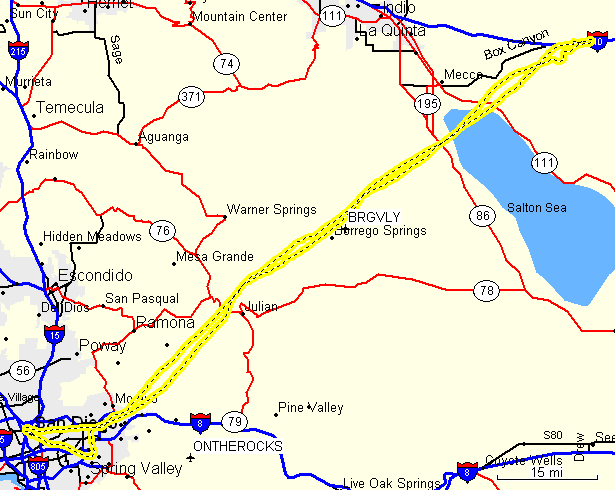
My plan was to fly to Borrego Valley, which looked like a nice easy flight. Unfortunately, it was too easy of a flight as it wasn't far enough to qualify for a cross-country flight. So, I looked for other airports farther away that would still fly me close to Borrego so I could make a stop there. I decided upon Chiriaco Summit (L77). The flight to there would take me almost directly over Borrego if I flew direct from Julian.
I decided to take out my new favorite plane, N2903A, a Piper Archer II. I had logged less than 5 hours in it so far, but it seemed very similar to the Cessnas I was used to, just with a better view and many minor changes in the cockpit that make flying it much nicer. The day of my flight, I had planned to preflight at 1:00 and be on the way around 1:30. Unfortunately, I was delayed and didn't arrive at the airport until 1:30. Then, in the preflight, I noticed that the fuel didn't seem full, so at 2:00, instead of leaving for my journey, I went to the fuel island to fill up the plane. I had problems with the pump and when the attendant came over, I found out that the Archers normally don't use full tanks because full fuel and 3 passengers puts the plane overweight. So, after wasting a good 45 minutes due to my lack of knowledge, I went to take off and had to wait another 20 minutes at the runup area before I was finally cleared to leave, finally getting off the ground at 3:08 pm.
I was a little weary of filing a flight plan because I didn't remember how to open it in the air, but I realized that part of the reason for doing all of the cross-country flying is to get experience not only in the flying, but in the rest of the stuff that should be done. So, I fortunately got ahold of Kimberly and found out how to activate my flight plan and request flight following.
Once I was airborne, I flew over Gillespie Field and
activated my flight plan. I then flew over Lake Jennings and started
a climb to 7,500 feet. I was so busy controlling the plane that I
forgot to call for flight following. But, I did make it to Julian and
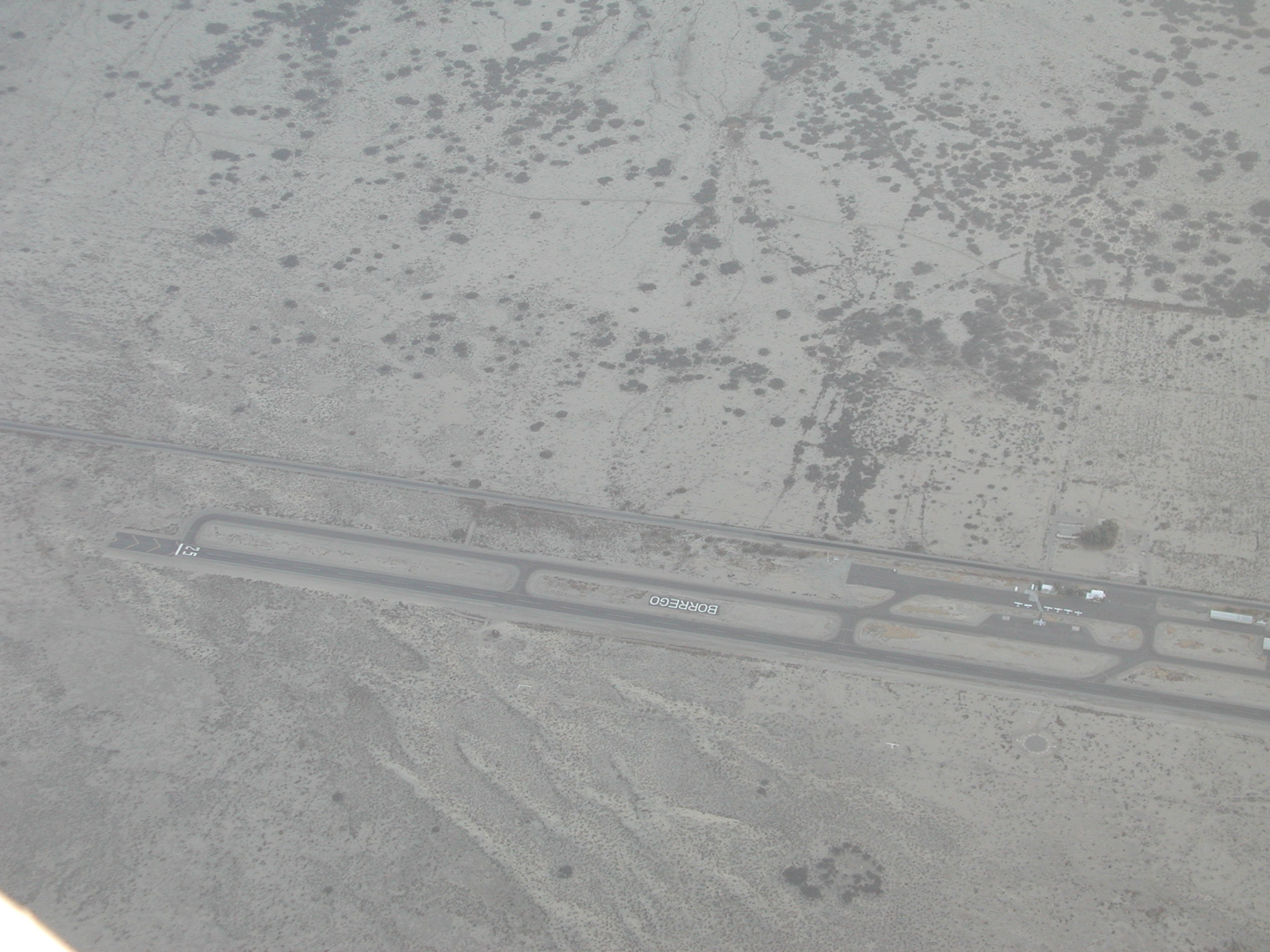
then turned towards L77. After a few minutes, I flew directly over
Borrego:

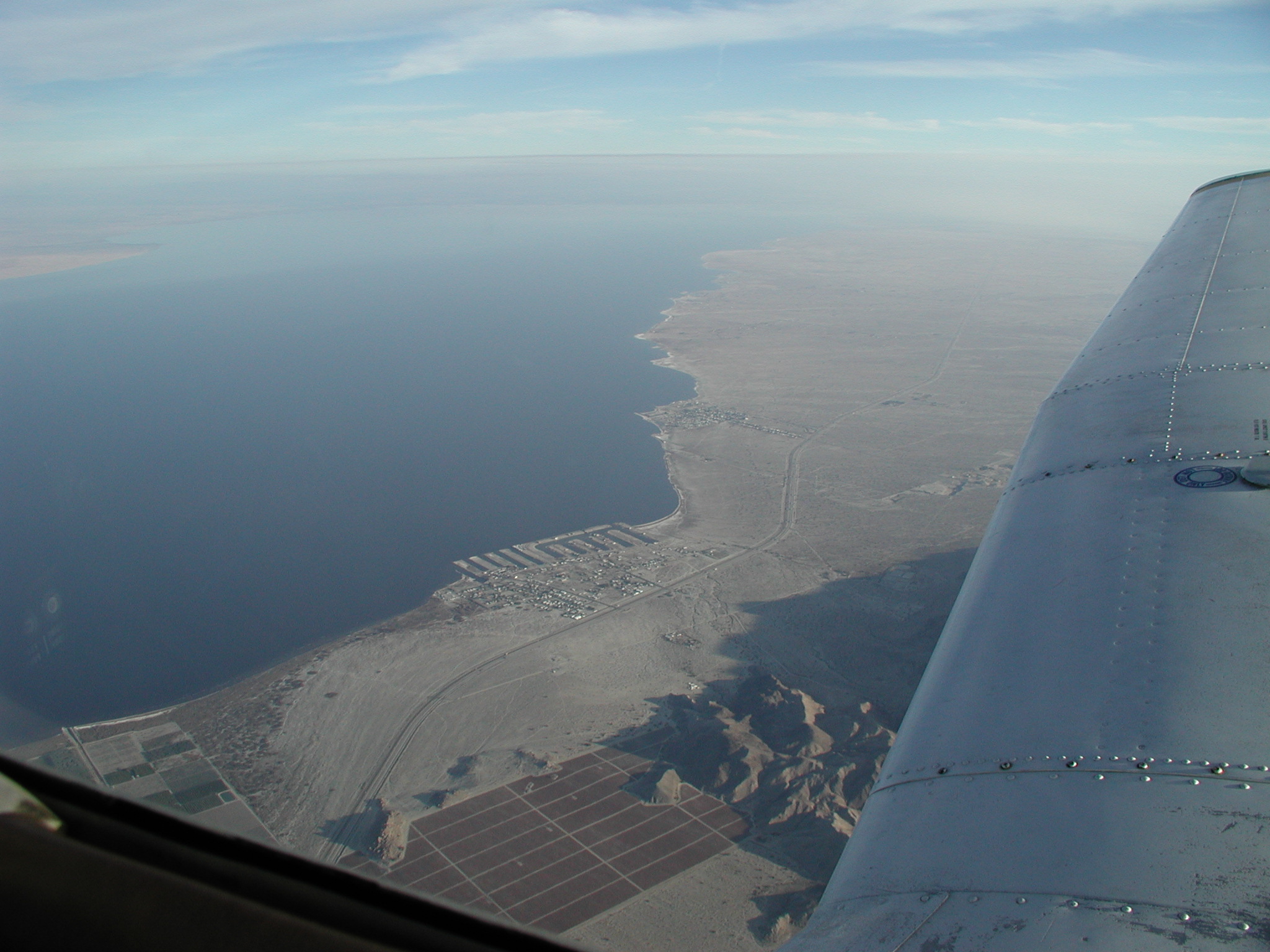
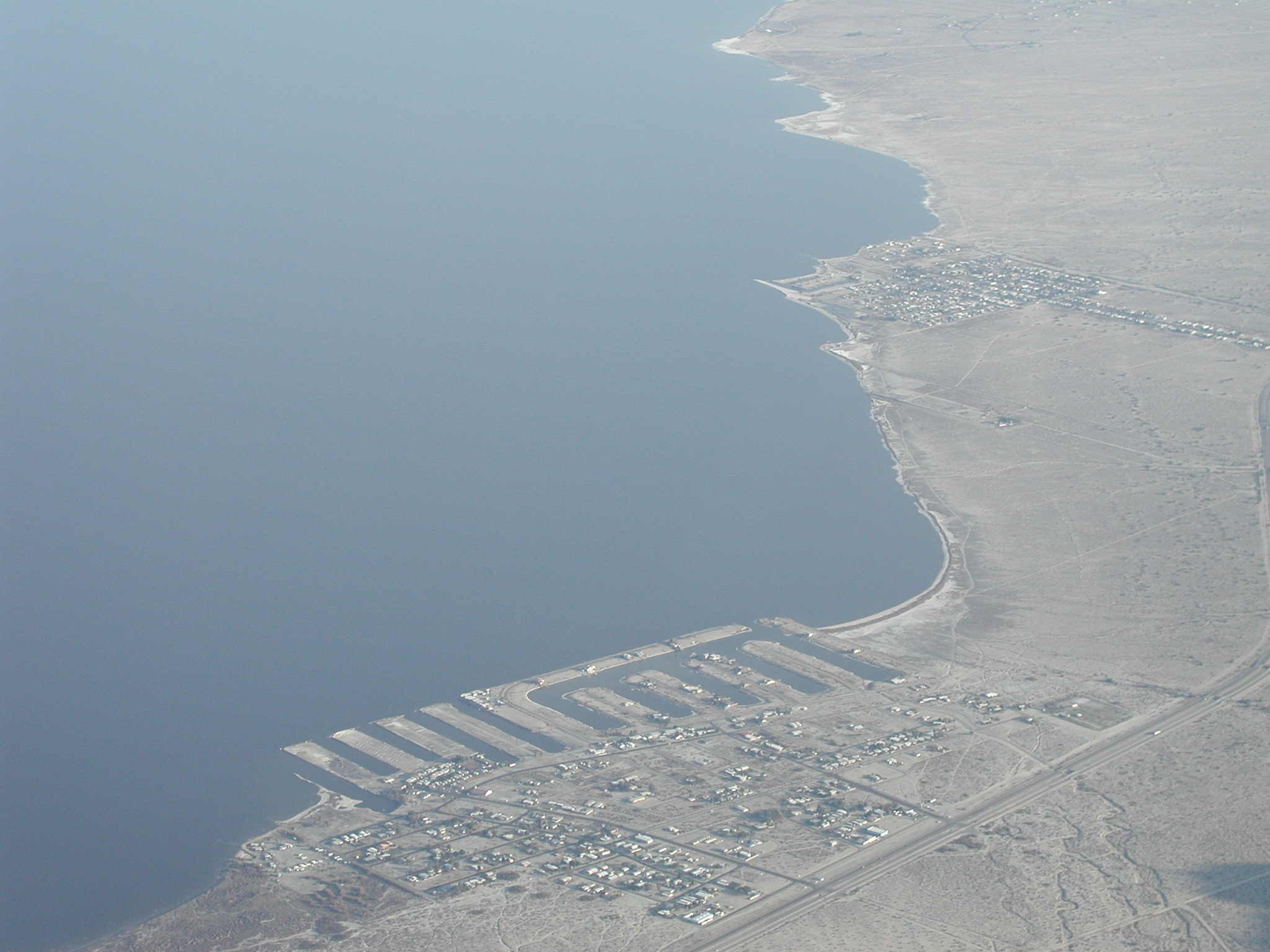
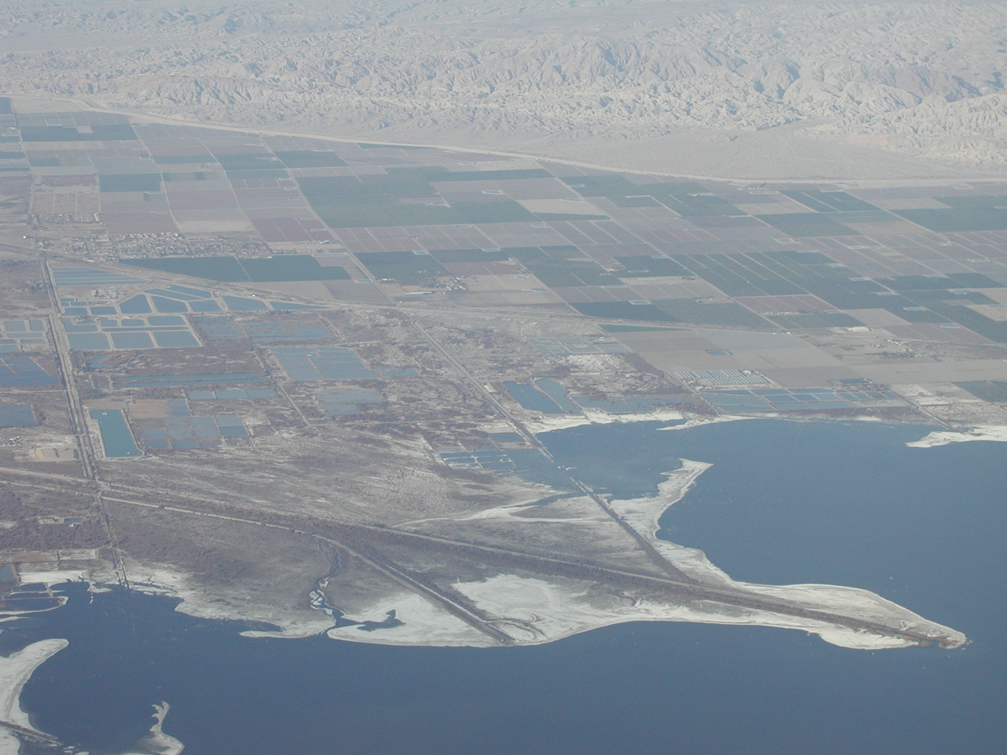
After a few more minutes, I flew over the Salton Sea. Unfortunately,
the sky was a lot hazier than I would have liked, but the trip was
still nice and my pictures came out well.
I continued flying my radial out of Julian and eventually came to
Chiriaco. Unfortunately, my passenger Brian, who would have been the
trip photographer, wasn't able to make the flight, so I wasn't able to get a very good picture of the airport. I was too busy during my approach to snap any pictures, but I do have this one from farther out:

It is a pretty odd airstrip, as the runway is a repaved section of a
much larger strip of concrete. There are also no taxiways, so you
just taxi straight off the end of the runway and go to the parking
area. The field was pretty deserted. I didn't hear anyone else on
the radio, nor did I see anyone on the ground. I didn't see any
tiedowns there, so I just pulled up next to a couple of other planes
and parked:

I was surprised to have cell phone service (though it was pretty weak), so I was able to close my flight plan from my cell phone. There was a truck stop a short distance from the field, so I was able to walk over there and use the restroom, but I didn't have time to do much else because I was worried about the sun setting before I got back home. I didn't file a flight plan back because I wanted to leave quickly and I didn't know what frequency to use to open it once I was in the air. Since there were no taxiways, I had to taxi across the active runway to get to the other side and then turn around for takeoff. While I was doing this, I got a call on my cellphone. Figuring it was Iris worried about me, I answered it, but instead it was the person who had the plane rented for the next morning. They asked me to top off the tanks when I returned because they were taking the plane on a long cross country flight next. Had it not been for my experience with the fuel earlier in the day, I probably would not have understood what the person was asking, but, as luck would have it, I now knew exactly what he was talking about and agreed to do so.
The flight back was much more annoying because I was
flying almost directly into the sun the whole time. I did get another
good picture of Borrego, though:
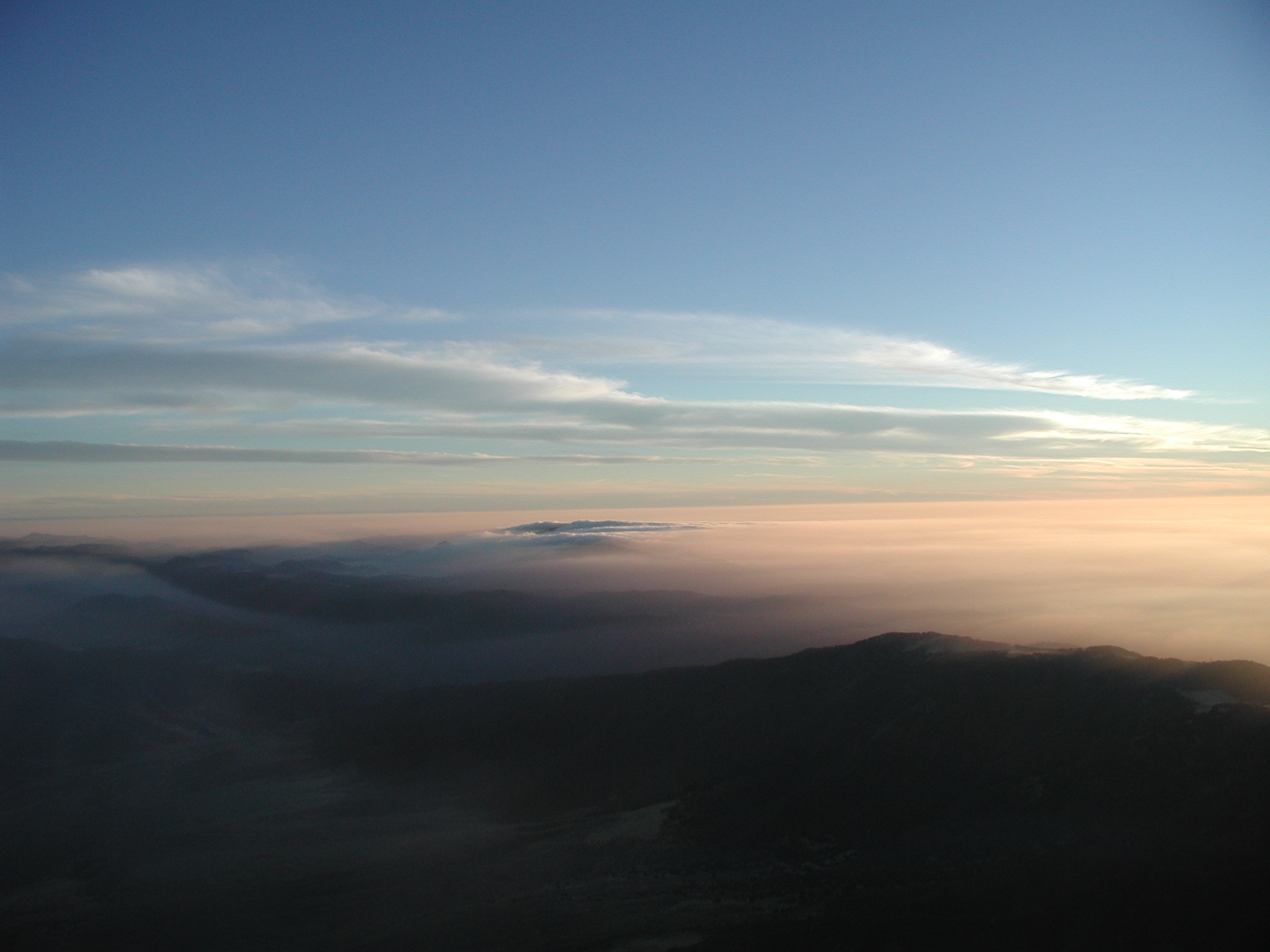
But, as I started to go over the mountains, I started worrying more
and more about icing. I knew that for icing to occur, the surface of
the plane had to be below freezing while flying through visible
moisture. According to the thermometer, the temperature was just
slightly above freezing and there was definitely some visible moisture
below me:
But, as I continued on, the temperatue never hit freezing, nor did I have to fly through any of the haze. Fortunately, I did figure out how to turn on the heater in the plane because things were getting quite cold inside. So my attention turned to my next problem--I couldn't see anything in front of me. The low sun combined with pretty thick haze created the illusion of a layer of low clouds beneath me as far as the eye could see. I debated turning back towards Borrego to spend the night, but I first checked the ATISes of the area and found that they were still reporting 10 miles visibility and clear skies, so I decided to continue. I was also concerned because the plane had no DME, so I wasn't really sure how far from Julian I was, but using my handheld GPS, I entered the coordinates for Julian (which were conviently located on the flight plan I printed out from DUATS) and was then able to use the GPS in the same way I would have a DME. Indeed--once I rounded the corner at Julian, I began my descent and discovered that what I had seen was just haze and that once I was through it (or perhaps in it), I did have pretty good visibility and made it back to Montgomery without a problem.
From this trip, I learned many things: